Flooded cycle path
Introduction
The photograph on this page of Flooded cycle path by Richard Webb as part of the Geograph project.
The Geograph project started in 2005 with the aim of publishing, organising and preserving representative images for every square kilometre of Great Britain, Ireland and the Isle of Man.

There are currently over 7.5m images from over 14,400 individuals and you can help contribute to the project by visiting https://www.geograph.org.uk
Flooded cycle path
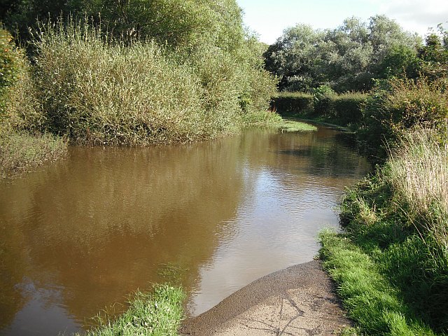
Image: © Richard Webb Taken: 9 Sep 2009
The water was deeper than anticipated - right up to the top of my wheels. Part of the National Cycle Network, route 73.
Images are licensed for reuse under creativecommons.org/licenses/by-sa/2.0
Image Location
Latitude
55.609936
Longitude
-4.652055