Crossroads in Mickle Trafford
Introduction
The photograph on this page of Crossroads in Mickle Trafford by John S Turner as part of the Geograph project.
The Geograph project started in 2005 with the aim of publishing, organising and preserving representative images for every square kilometre of Great Britain, Ireland and the Isle of Man.

There are currently over 7.5m images from over 14,400 individuals and you can help contribute to the project by visiting https://www.geograph.org.uk
Crossroads in Mickle Trafford
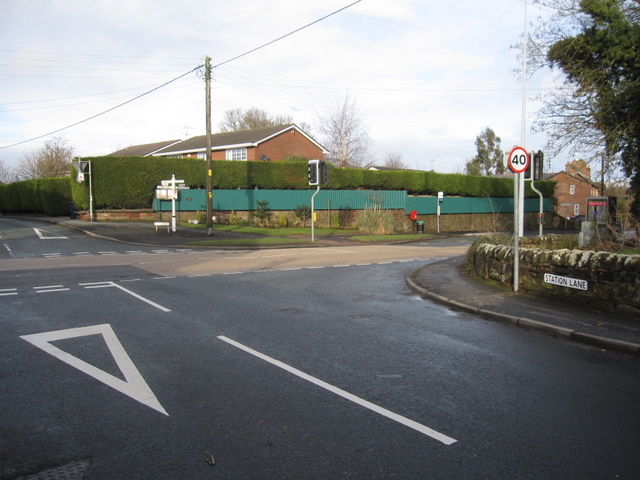
Image: © John S Turner Taken: 16 Jan 2010
Looking from Station Lane towards the A56 through Mickle Trafford. There may be an early First Geodetic Levelling bench mark on the low stone wall round the corner, but the wall is covered with ivy at the relevant point, so if it is there it is not accessible at the moment.
Images are licensed for reuse under creativecommons.org/licenses/by-sa/2.0
Image Location
Latitude
53.221075
Longitude
-2.832839