Stream below Pots and Pans
Introduction
The photograph on this page of Stream below Pots and Pans by Keith Williamson as part of the Geograph project.
The Geograph project started in 2005 with the aim of publishing, organising and preserving representative images for every square kilometre of Great Britain, Ireland and the Isle of Man.

There are currently over 7.5m images from over 14,400 individuals and you can help contribute to the project by visiting https://www.geograph.org.uk
Stream below Pots and Pans
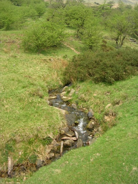
Image: © Keith Williamson Taken: 9 May 2006
A small stream makes its way downhill towards Tunstead to the southwest of Pots and Pans.
Images are licensed for reuse under creativecommons.org/licenses/by-sa/2.0
Image Location
Latitude
53.537149
Longitude
-1.992417