Peterlee Methodist Church
Introduction
The photograph on this page of Peterlee Methodist Church by Philip Barker as part of the Geograph project.
The Geograph project started in 2005 with the aim of publishing, organising and preserving representative images for every square kilometre of Great Britain, Ireland and the Isle of Man.

There are currently over 7.5m images from over 14,400 individuals and you can help contribute to the project by visiting https://www.geograph.org.uk
Peterlee Methodist Church
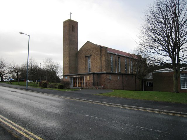
Image: © Philip Barker Taken: 17 Jan 2010
This photograph shows a view of Peterlee Methodist Church in Bede Way, Peterlee. The picture was taken looking in a west-south-westerly direction from the opposite side of the road.
Images are licensed for reuse under creativecommons.org/licenses/by-sa/2.0
Image Location
Latitude
54.757895
Longitude
-1.336301