St. Ninians Old Parish Kirk Steeple
Introduction
The photograph on this page of St. Ninians Old Parish Kirk Steeple by Robert Murray as part of the Geograph project.
The Geograph project started in 2005 with the aim of publishing, organising and preserving representative images for every square kilometre of Great Britain, Ireland and the Isle of Man.

There are currently over 7.5m images from over 14,400 individuals and you can help contribute to the project by visiting https://www.geograph.org.uk
St. Ninians Old Parish Kirk Steeple
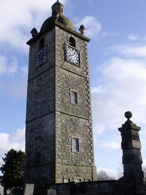
Image: © Robert Murray Taken: 18 Jan 2010
It would have been a steeple before it looked like a clock tower. See also www.geograph.org.uk/photo/1668541
Images are licensed for reuse under creativecommons.org/licenses/by-sa/2.0
Image Location
Latitude
56.102485
Longitude
-3.937595