The access road to Toddleburn Wind Farm
Introduction
The photograph on this page of The access road to Toddleburn Wind Farm by Walter Baxter as part of the Geograph project.
The Geograph project started in 2005 with the aim of publishing, organising and preserving representative images for every square kilometre of Great Britain, Ireland and the Isle of Man.

There are currently over 7.5m images from over 14,400 individuals and you can help contribute to the project by visiting https://www.geograph.org.uk
The access road to Toddleburn Wind Farm
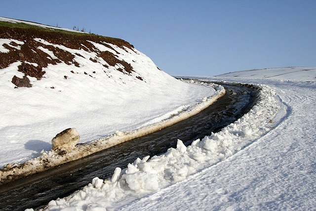
Image: © Walter Baxter Taken: 17 Jan 2010
The going on the road today was very difficult due to ice, so I walked to the side on the snow.
Images are licensed for reuse under creativecommons.org/licenses/by-sa/2.0
Image Location
Latitude
55.74227
Longitude
-2.908339