At the top of Jaw Bones Hill
Introduction
The photograph on this page of At the top of Jaw Bones Hill by Peter Barr as part of the Geograph project.
The Geograph project started in 2005 with the aim of publishing, organising and preserving representative images for every square kilometre of Great Britain, Ireland and the Isle of Man.

There are currently over 7.5m images from over 14,400 individuals and you can help contribute to the project by visiting https://www.geograph.org.uk
At the top of Jaw Bones Hill
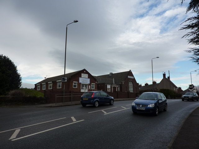
Image: © Peter Barr Taken: 18 Jan 2010
There is a Methodist Church and Chapel Hall Dental Surgery. This section of Derby Road, in Chesterfield, has this unusual name
Images are licensed for reuse under creativecommons.org/licenses/by-sa/2.0
Image Location
Latitude
53.224772
Longitude
-1.427787