Comber Greenway sign, Belfast (2)
Introduction
The photograph on this page of Comber Greenway sign, Belfast (2) by Albert Bridge as part of the Geograph project.
The Geograph project started in 2005 with the aim of publishing, organising and preserving representative images for every square kilometre of Great Britain, Ireland and the Isle of Man.

There are currently over 7.5m images from over 14,400 individuals and you can help contribute to the project by visiting https://www.geograph.org.uk
Comber Greenway sign, Belfast (2)
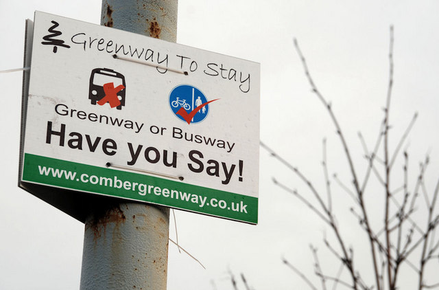
Image: © Albert Bridge Taken: 18 Jan 2010
The proposal to convert the Comber Greenway (originally the Belfast and County Down Railway to Comber, Donaghadee, Downpatrick and Newcastle) has not been formally abandoned. This sign is at the King’s Road entrance. The spelling might be deliberate.
Images are licensed for reuse under creativecommons.org/licenses/by-sa/2.0
Image Location
Latitude
54.590914
Longitude
-5.85118