Berinsfield. Church View
Introduction
The photograph on this page of Berinsfield. Church View by Des Blenkinsopp as part of the Geograph project.
The Geograph project started in 2005 with the aim of publishing, organising and preserving representative images for every square kilometre of Great Britain, Ireland and the Isle of Man.

There are currently over 7.5m images from over 14,400 individuals and you can help contribute to the project by visiting https://www.geograph.org.uk
Berinsfield. Church View
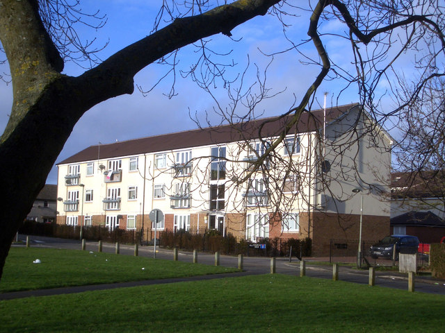
Image: © Des Blenkinsopp Taken: 18 Jan 2010
Berinsfield is entirely a post WW2 development, but it does have a village green, with a village church on it. Also a village pub, but that looked a bit shut. Anyway, that's what this apartment block overlooks
Images are licensed for reuse under creativecommons.org/licenses/by-sa/2.0
Image Location
Latitude
51.663584
Longitude
-1.176709