Notton
Introduction
The photograph on this page of Notton by Nigel Mykura as part of the Geograph project.
The Geograph project started in 2005 with the aim of publishing, organising and preserving representative images for every square kilometre of Great Britain, Ireland and the Isle of Man.

There are currently over 7.5m images from over 14,400 individuals and you can help contribute to the project by visiting https://www.geograph.org.uk
Notton
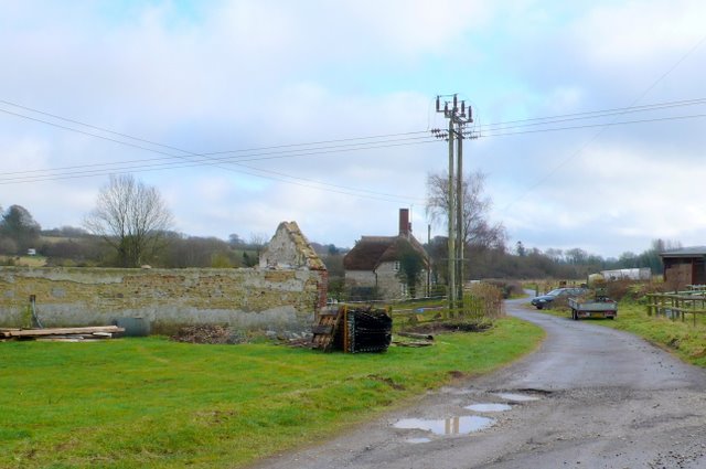
Image: © Nigel Mykura Taken: 18 Jan 2010
A view south east along the track that runs from this small hamlet along the banks of the Frome towards Throop, Southover and Frampton.
Images are licensed for reuse under creativecommons.org/licenses/by-sa/2.0
Image Location
Latitude
50.760111
Longitude
-2.554868