Pevensey Bridge
Introduction
The photograph on this page of Pevensey Bridge by Simon Carey as part of the Geograph project.
The Geograph project started in 2005 with the aim of publishing, organising and preserving representative images for every square kilometre of Great Britain, Ireland and the Isle of Man.

There are currently over 7.5m images from over 14,400 individuals and you can help contribute to the project by visiting https://www.geograph.org.uk
Pevensey Bridge
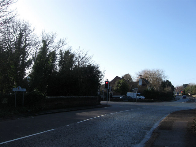
Image: © Simon Carey Taken: 17 Jan 2010
Taking the A259 over the waterway Pevensey Haven. The former turns left at the junction ahead and goes south to Pevensey Bay then on to Eastbourne. Continuing straight ahead is the High Street, the B2191 which was prior to the construction of the by-pass in the 1990s the A27.
Images are licensed for reuse under creativecommons.org/licenses/by-sa/2.0
Image Location
Latitude
50.820884
Longitude
0.339855