Thawing snow near Lovat Bridge
Introduction
The photograph on this page of Thawing snow near Lovat Bridge by Les Shaw as part of the Geograph project.
The Geograph project started in 2005 with the aim of publishing, organising and preserving representative images for every square kilometre of Great Britain, Ireland and the Isle of Man.

There are currently over 7.5m images from over 14,400 individuals and you can help contribute to the project by visiting https://www.geograph.org.uk
Thawing snow near Lovat Bridge
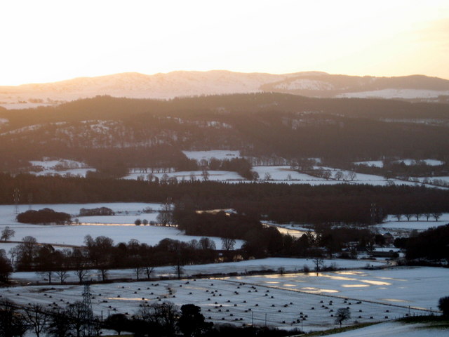
Image: © Les Shaw Taken: 17 Jan 2010
Dawn sunlight reflects from ponds forming in the thawing snow in fields near Lovat Bridge, Beauly. The River Beauly appears in the image to the lower right of the centre flowing towards Lovat Bridge and then following the line of trees to the left of the scene.
Images are licensed for reuse under creativecommons.org/licenses/by-sa/2.0
Image Location


Leaflet Map data © OpenStreetMap
Latitude
57.474431
Longitude
-4.479697