Claybrook Close
Introduction
The photograph on this page of Claybrook Close by Martin Addison as part of the Geograph project.
The Geograph project started in 2005 with the aim of publishing, organising and preserving representative images for every square kilometre of Great Britain, Ireland and the Isle of Man.

There are currently over 7.5m images from over 14,400 individuals and you can help contribute to the project by visiting https://www.geograph.org.uk
Claybrook Close
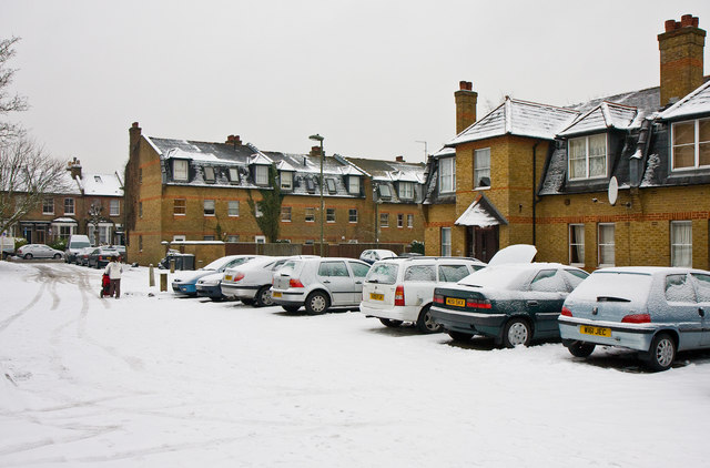
Image: © Martin Addison Taken: 11 Jan 2010
This housing development was built on the site of the Alder Secondary School. I'm standing roughly in one corner of the playground. The group of houses in the centre of the photo occupy the area where the front of the school itself was. The school building extended back to roughly where the nearest block of houses starts. The houses on the left of the photo are on Long Lane.
Images are licensed for reuse under creativecommons.org/licenses/by-sa/2.0
Image Location
Latitude
51.594064
Longitude
-0.172009