Noticeboard, St. Luke's, Kingstanding
Introduction
The photograph on this page of Noticeboard, St. Luke's, Kingstanding by nick macneill as part of the Geograph project.
The Geograph project started in 2005 with the aim of publishing, organising and preserving representative images for every square kilometre of Great Britain, Ireland and the Isle of Man.

There are currently over 7.5m images from over 14,400 individuals and you can help contribute to the project by visiting https://www.geograph.org.uk
Noticeboard, St. Luke's, Kingstanding
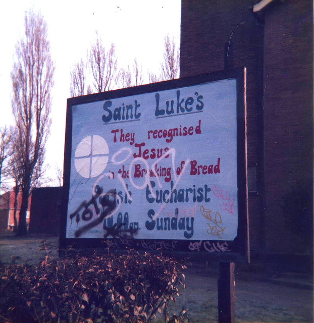
Image: © nick macneill Taken: 12 Jan 1987
After a period in the doldrums during which there was some doubt over its future, the church picked up somewhat in the mid eighties and is now thriving within the local community.
Images are licensed for reuse under creativecommons.org/licenses/by-sa/2.0
Image Location
Latitude
52.549546
Longitude
-1.879176