South Street, Horncastle
Introduction
The photograph on this page of South Street, Horncastle by Dave Hitchborne as part of the Geograph project.
The Geograph project started in 2005 with the aim of publishing, organising and preserving representative images for every square kilometre of Great Britain, Ireland and the Isle of Man.

There are currently over 7.5m images from over 14,400 individuals and you can help contribute to the project by visiting https://www.geograph.org.uk
South Street, Horncastle
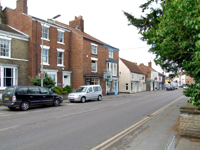
Image: © Dave Hitchborne Taken: 18 Jul 2009
The bottom end of South Street at its junction with Jubilee Way (A158), North Street and East Street (A158), all of which is controlled by traffic lights. The street is a continuation of Boston Road and joins it at Hangman's Corner. This route to Boston sees quite a bit of traffic and at times from the three services - Fire, Police and Ambulance who are situated respectively on Foundry Street, Mareham Road and The Wong.
Images are licensed for reuse under creativecommons.org/licenses/by-sa/2.0
Image Location
Latitude
53.207192
Longitude
-0.114869