Cattle, Southhook
Introduction
The photograph on this page of Cattle, Southhook by Richard Webb as part of the Geograph project.
The Geograph project started in 2005 with the aim of publishing, organising and preserving representative images for every square kilometre of Great Britain, Ireland and the Isle of Man.

There are currently over 7.5m images from over 14,400 individuals and you can help contribute to the project by visiting https://www.geograph.org.uk
Cattle, Southhook
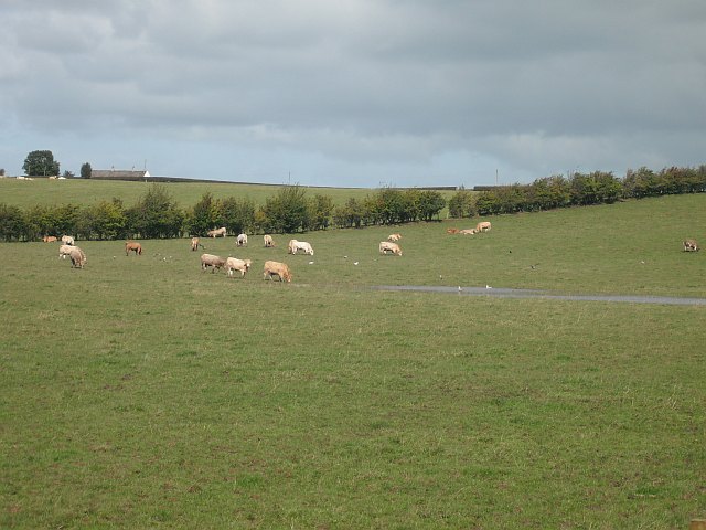
Image: © Richard Webb Taken: 9 Sep 2009
Charolais cross cattle in a partially flooded field. There was a period of heavy rainfall early in September 2009. The rest of the month was dry.
Images are licensed for reuse under creativecommons.org/licenses/by-sa/2.0
Image Location
Latitude
55.625662
Longitude
-4.567809