Bruce Street Bridges, Rodbourne, Swindon
Introduction
The photograph on this page of Bruce Street Bridges, Rodbourne, Swindon by Brian Robert Marshall as part of the Geograph project.
The Geograph project started in 2005 with the aim of publishing, organising and preserving representative images for every square kilometre of Great Britain, Ireland and the Isle of Man.

There are currently over 7.5m images from over 14,400 individuals and you can help contribute to the project by visiting https://www.geograph.org.uk
Bruce Street Bridges, Rodbourne, Swindon
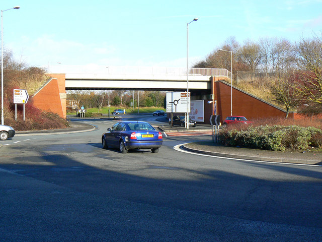
Image: © Brian Robert Marshall Taken: 17 Jan 2010
The bridge is one of two in close proximity that carry the road network beneath the Swindon to Gloucester railway. This is the easternmost bridge. The bridge complex is best appreciated from the aerial view in Google Earth.
Images are licensed for reuse under creativecommons.org/licenses/by-sa/2.0
Image Location
Latitude
51.568294
Longitude
-1.801138