Fields from Radyr Golf Course
Introduction
The photograph on this page of Fields from Radyr Golf Course by John Light as part of the Geograph project.
The Geograph project started in 2005 with the aim of publishing, organising and preserving representative images for every square kilometre of Great Britain, Ireland and the Isle of Man.

There are currently over 7.5m images from over 14,400 individuals and you can help contribute to the project by visiting https://www.geograph.org.uk
Fields from Radyr Golf Course
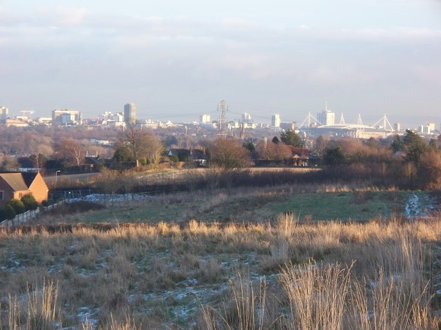
Image: © John Light Taken: 5 Jan 2010
Taken from the public footpath running along the edge of the golf course. The skyline of Cardiff city centre dominates the background.
Images are licensed for reuse under creativecommons.org/licenses/by-sa/2.0
Image Location
Latitude
51.512418
Longitude
-3.260135