Cleveden Secondary School
Introduction
The photograph on this page of Cleveden Secondary School by G Laird as part of the Geograph project.
The Geograph project started in 2005 with the aim of publishing, organising and preserving representative images for every square kilometre of Great Britain, Ireland and the Isle of Man.

There are currently over 7.5m images from over 14,400 individuals and you can help contribute to the project by visiting https://www.geograph.org.uk
Cleveden Secondary School
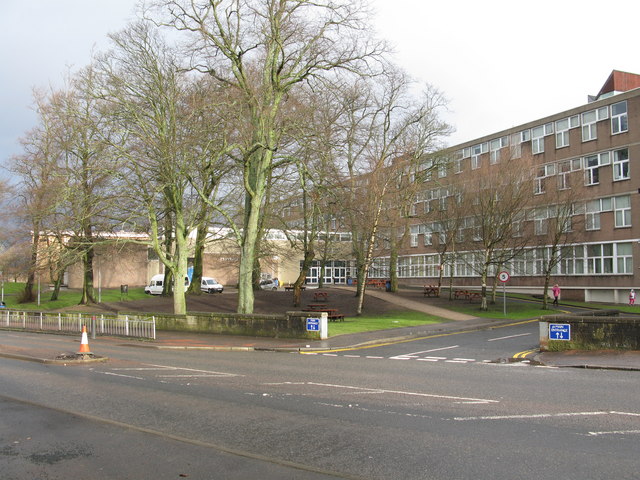
Image: © G Laird Taken: 16 Jan 2010
The building straddles 2 squares with the entrance being in square NS5568. The school is an amalgam of the former Cleveden and North Kelvinside Secondaries and the combined school came into being in 1998.
Images are licensed for reuse under creativecommons.org/licenses/by-sa/2.0
Image Location
Latitude
55.88633
Longitude
-4.304186