Former Bricklayers Arms
Introduction
The photograph on this page of Former Bricklayers Arms by Gerald England as part of the Geograph project.
The Geograph project started in 2005 with the aim of publishing, organising and preserving representative images for every square kilometre of Great Britain, Ireland and the Isle of Man.

There are currently over 7.5m images from over 14,400 individuals and you can help contribute to the project by visiting https://www.geograph.org.uk
Former Bricklayers Arms
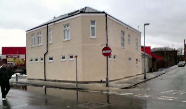
Image: © Gerald England Taken: 16 Jan 2010
The old "boozer" on the corner of the Reynold Street and Crook Street has been converted into a residential property. It looks rather different to how it did in August 2006 Image, January 2007 Image and December 2009 Image
Images are licensed for reuse under creativecommons.org/licenses/by-sa/2.0
Image Location
Latitude
53.449936
Longitude
-2.07826