Baillieston, Station Road
Introduction
The photograph on this page of Baillieston, Station Road by Robert Murray as part of the Geograph project.
The Geograph project started in 2005 with the aim of publishing, organising and preserving representative images for every square kilometre of Great Britain, Ireland and the Isle of Man.

There are currently over 7.5m images from over 14,400 individuals and you can help contribute to the project by visiting https://www.geograph.org.uk
Baillieston, Station Road
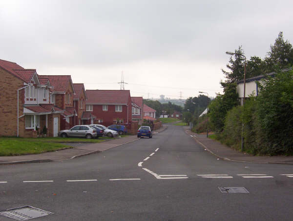
Image: © Robert Murray Taken: 10 Jun 2004
The station on the Rutherglen to Coatbridge line closed in 1964. The housing development on the left occupies what was the home of Baillieston Juniors FC - and before that Ellismuir Pit No.1, one of the earliest coal mines in the area whose productive life commenced before 1840.
Images are licensed for reuse under creativecommons.org/licenses/by-sa/2.0
Image Location
Latitude
55.847541
Longitude
-4.106675