Alcombe Village Hall
Introduction
The photograph on this page of Alcombe Village Hall by Derek Harper as part of the Geograph project.
The Geograph project started in 2005 with the aim of publishing, organising and preserving representative images for every square kilometre of Great Britain, Ireland and the Isle of Man.

There are currently over 7.5m images from over 14,400 individuals and you can help contribute to the project by visiting https://www.geograph.org.uk
Alcombe Village Hall
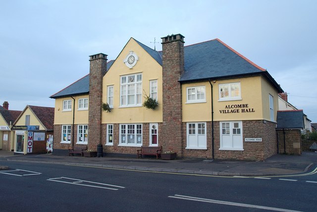
Image: © Derek Harper Taken: 16 Dec 2009
"A village hall for the advantage or benefit of the inhabitants of the village of Alcombe and of the surrounding districts" http://www.guidestar.org.uk/gs_summary.aspx?CCReg=304465 - although you might say that Alcombe is now a suburb of Minehead rather than a village. On Alcombe Road, the A39, at the corner of Marshfield Road (right).
Images are licensed for reuse under creativecommons.org/licenses/by-sa/2.0
Image Location
Latitude
51.196989
Longitude
-3.467051