Hopcott Path
Introduction
The photograph on this page of Hopcott Path by Derek Harper as part of the Geograph project.
The Geograph project started in 2005 with the aim of publishing, organising and preserving representative images for every square kilometre of Great Britain, Ireland and the Isle of Man.

There are currently over 7.5m images from over 14,400 individuals and you can help contribute to the project by visiting https://www.geograph.org.uk
Hopcott Path
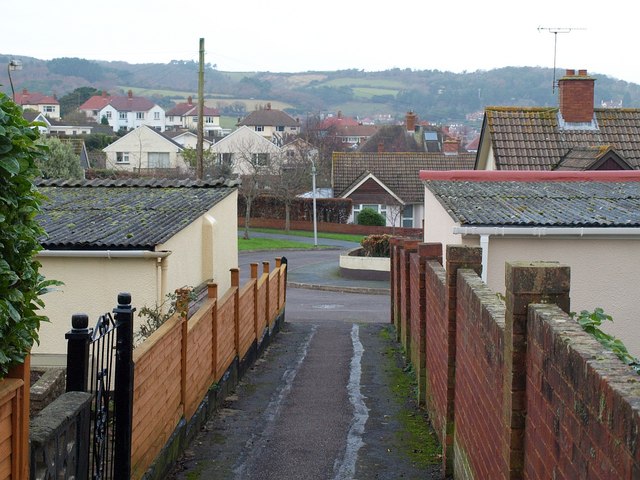
Image: © Derek Harper Taken: 16 Dec 2009
The line of an old path is followed by footpath WL 31/48 through the suburbs of Minehead, crossing and linking roads. It may not be rural, but it's largely traffic-free.
Images are licensed for reuse under creativecommons.org/licenses/by-sa/2.0
Image Location
Latitude
51.199559
Longitude
-3.484309