Countryside near Mudford Sock
Introduction
The photograph on this page of Countryside near Mudford Sock by Nigel Mykura as part of the Geograph project.
The Geograph project started in 2005 with the aim of publishing, organising and preserving representative images for every square kilometre of Great Britain, Ireland and the Isle of Man.

There are currently over 7.5m images from over 14,400 individuals and you can help contribute to the project by visiting https://www.geograph.org.uk
Countryside near Mudford Sock
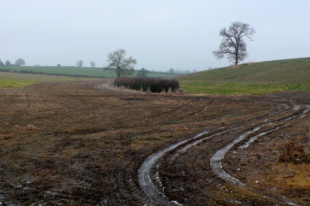
Image: © Nigel Mykura Taken: 14 Jan 2010
View north from the lane that leads from the A359 north of Yeovil westwards to Mudford Sock on a dreary grey january day.
Images are licensed for reuse under creativecommons.org/licenses/by-sa/2.0
Image Location
Latitude
50.97218
Longitude
-2.621341