Butter Cross, Dunster
Introduction
The photograph on this page of Butter Cross, Dunster by Derek Harper as part of the Geograph project.
The Geograph project started in 2005 with the aim of publishing, organising and preserving representative images for every square kilometre of Great Britain, Ireland and the Isle of Man.

There are currently over 7.5m images from over 14,400 individuals and you can help contribute to the project by visiting https://www.geograph.org.uk
Butter Cross, Dunster
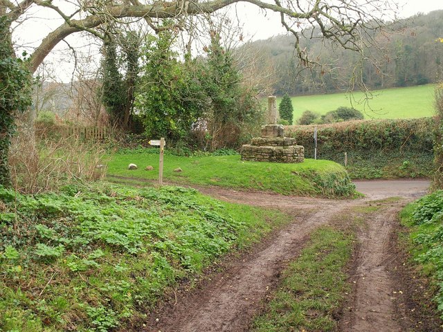
Image: © Derek Harper Taken: 16 Dec 2009
One might expect a covered area to protect the butter from the elements, and in the centre of the town, but this plain "Late 14th/early 15th century stone wayside cross" is merely a "Stump with polygonal shaft in square socket on base of two octagonal steps" http://www.imagesofengland.org.uk/Details/Default.aspx?id=264719&mode=adv , and up a steep hill beyond the built-up area. This is because it has been resited. A charming spot, nonetheless.
Images are licensed for reuse under creativecommons.org/licenses/by-sa/2.0
Image Location


Leaflet Map data © OpenStreetMap
Latitude
51.185072
Longitude
-3.449216