Cagthorpe, Horncastle
Introduction
The photograph on this page of Cagthorpe, Horncastle by Dave Hitchborne as part of the Geograph project.
The Geograph project started in 2005 with the aim of publishing, organising and preserving representative images for every square kilometre of Great Britain, Ireland and the Isle of Man.

There are currently over 7.5m images from over 14,400 individuals and you can help contribute to the project by visiting https://www.geograph.org.uk
Cagthorpe, Horncastle
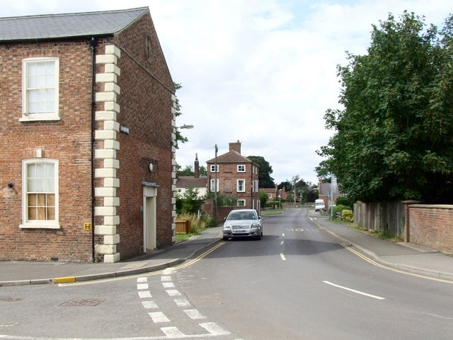
Image: © Dave Hitchborne Taken: 18 Jul 2009
Cagthorpe, at the end of which is the former Cagthorpe Secondary Modern School, where my wife attended many years ago. It is now the Youth Centre. Beyond that is the Town Centre, which is reached by crossing over the A158, that runs over the River Waring.
Images are licensed for reuse under creativecommons.org/licenses/by-sa/2.0
Image Location
Latitude
53.205965
Longitude
-0.11687