Prince's Coverts
Introduction
The photograph on this page of Prince's Coverts by CBL as part of the Geograph project.
The Geograph project started in 2005 with the aim of publishing, organising and preserving representative images for every square kilometre of Great Britain, Ireland and the Isle of Man.

There are currently over 7.5m images from over 14,400 individuals and you can help contribute to the project by visiting https://www.geograph.org.uk
Prince's Coverts
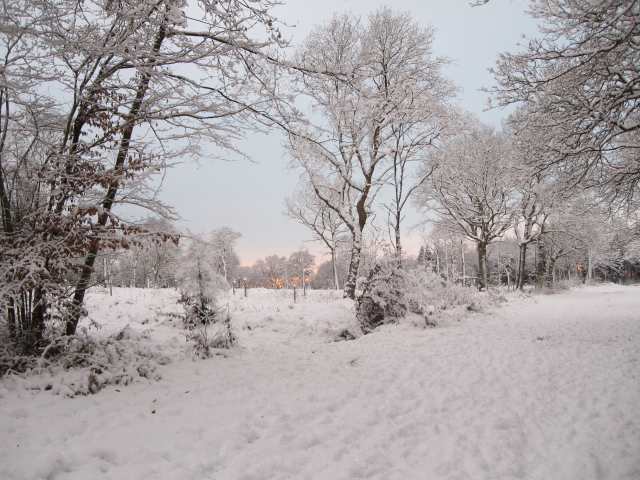
Image: © CBL Taken: 7 Jan 2010
This was taken looking toward the pink sky of a winter sunset. The coverts are owned and managed by the Crown Estate.
Images are licensed for reuse under creativecommons.org/licenses/by-sa/2.0
Image Location
Latitude
51.327421
Longitude
-0.346548