Nineveh Road at Nineveh Bridge
Introduction
The photograph on this page of Nineveh Road at Nineveh Bridge by Richard Kay as part of the Geograph project.
The Geograph project started in 2005 with the aim of publishing, organising and preserving representative images for every square kilometre of Great Britain, Ireland and the Isle of Man.

There are currently over 7.5m images from over 14,400 individuals and you can help contribute to the project by visiting https://www.geograph.org.uk
Nineveh Road at Nineveh Bridge
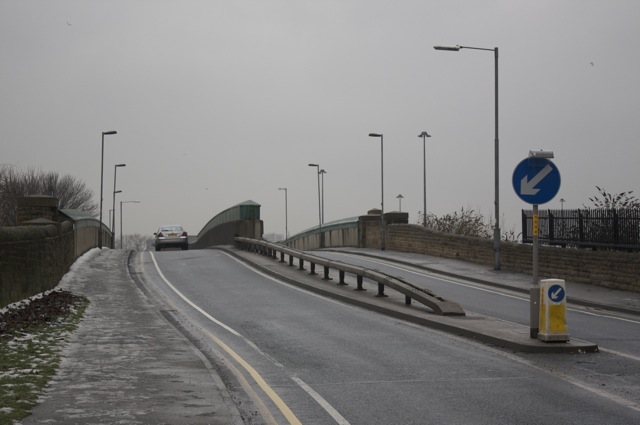
Image: © Richard Kay Taken: 13 Jan 2010
The bridge was rebuilt as a steel through-girder in 2001. A combination of high skew and vertical alignment compelled the designer to use three main girders, with one forming a central reservation to the road. The steel plate girders are protected from corrosion and impact by concrete.
Images are licensed for reuse under creativecommons.org/licenses/by-sa/2.0
Image Location
Latitude
53.787004
Longitude
-1.554948