Field above Woodbury Salterton
Introduction
The photograph on this page of Field above Woodbury Salterton by Derek Harper as part of the Geograph project.
The Geograph project started in 2005 with the aim of publishing, organising and preserving representative images for every square kilometre of Great Britain, Ireland and the Isle of Man.

There are currently over 7.5m images from over 14,400 individuals and you can help contribute to the project by visiting https://www.geograph.org.uk
Field above Woodbury Salterton
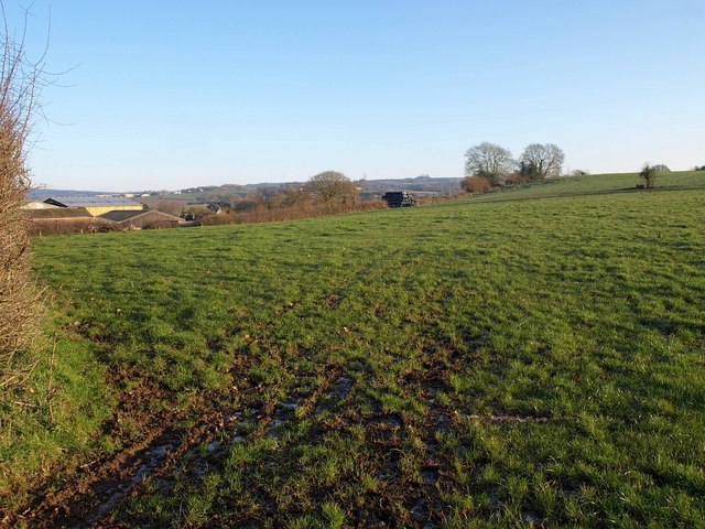
Image: © Derek Harper Taken: 4 Jan 2010
A view from the other side of Higher Road from Image On the left is the group of farm buildings mentioned in Image
Images are licensed for reuse under creativecommons.org/licenses/by-sa/2.0
Image Location
Latitude
50.692808
Longitude
-3.404398