Field beside Higher Road
Introduction
The photograph on this page of Field beside Higher Road by Derek Harper as part of the Geograph project.
The Geograph project started in 2005 with the aim of publishing, organising and preserving representative images for every square kilometre of Great Britain, Ireland and the Isle of Man.

There are currently over 7.5m images from over 14,400 individuals and you can help contribute to the project by visiting https://www.geograph.org.uk
Field beside Higher Road
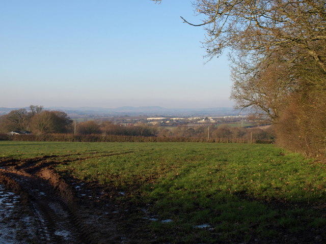
Image: © Derek Harper Taken: 4 Jan 2010
As its name might imply, Higher Road offers views northwards. The field drops to meet Lower Road.
Images are licensed for reuse under creativecommons.org/licenses/by-sa/2.0
Image Location
Latitude
50.693687
Longitude
-3.406124