Field near Woodbury Salterton (2)
Introduction
The photograph on this page of Field near Woodbury Salterton (2) by Derek Harper as part of the Geograph project.
The Geograph project started in 2005 with the aim of publishing, organising and preserving representative images for every square kilometre of Great Britain, Ireland and the Isle of Man.

There are currently over 7.5m images from over 14,400 individuals and you can help contribute to the project by visiting https://www.geograph.org.uk
Field near Woodbury Salterton (2)
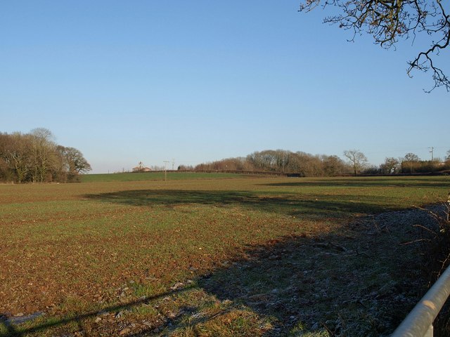
Image: © Derek Harper Taken: 4 Jan 2010
Another view acrossImage, with the wood on the left and Image just off to the right. In the centre are Hogsbrook Farm and Wood.
Images are licensed for reuse under creativecommons.org/licenses/by-sa/2.0
Image Location
Latitude
50.690138
Longitude
-3.387046