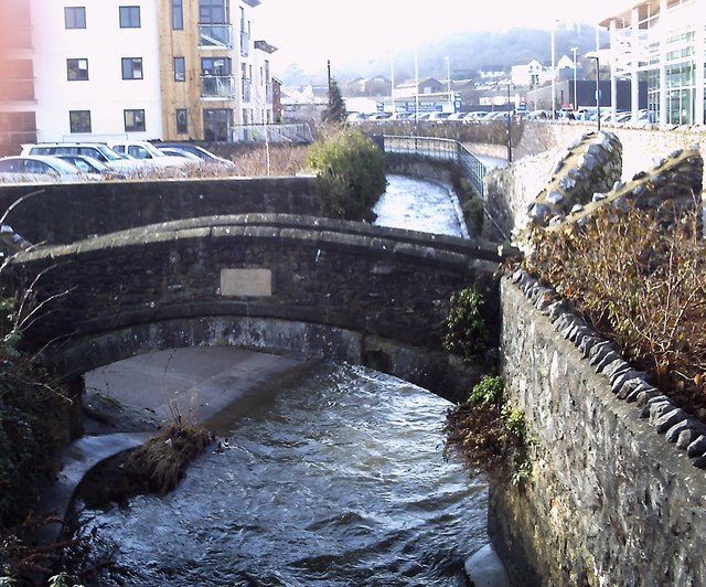
Union Bridge
Introduction
The photograph on this page of Union Bridge by Anthony Volante as part of the Geograph project.
The Geograph project started in 2005 with the aim of publishing, organising and preserving representative images for every square kilometre of Great Britain, Ireland and the Isle of Man.
There are currently over 7.5m images from over 14,400 individuals and you can help contribute to the project by visiting https://www.geograph.org.uk

Image: © Anthony Volante Taken: 13 Jan 2010
This is the old Union Bridge (1822) which crosses the River Lemon in front of the new Asda supermarket building in Newton Abbot. The River Lemon is 16km long. Its source is on the south east side of Dartmoor near Haytor, it then joins with the River Sig and the Langworthy Brook at Sigford, passes the village of Bickington. Lower down it is joined by the Kestor Brook and then it flows through the woods in Bradley Valley passing the manor house. It is after this that it flows through Newton Abbot, passing through a 400 metre long tunnel below the town centre. Just below the town the river joins the River Teign near the head of its estuary.

