Lane, Greendale
Introduction
The photograph on this page of Lane, Greendale by Derek Harper as part of the Geograph project.
The Geograph project started in 2005 with the aim of publishing, organising and preserving representative images for every square kilometre of Great Britain, Ireland and the Isle of Man.

There are currently over 7.5m images from over 14,400 individuals and you can help contribute to the project by visiting https://www.geograph.org.uk
Lane, Greendale
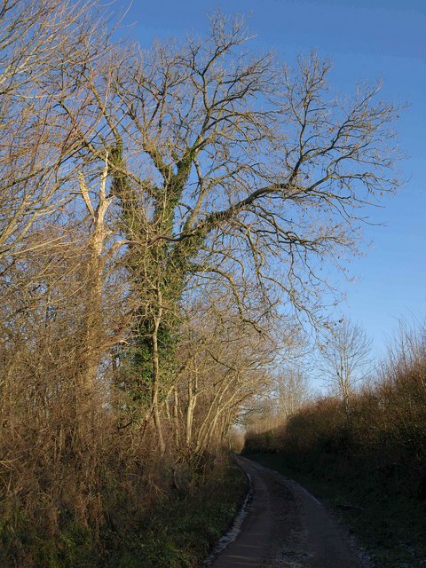
Image: © Derek Harper Taken: 4 Jan 2010
This side lane links White Cross Road and Sanctuary Lane, wandering around a bit on either side of the Grindle Brook as it does so. Here it is just over 100 metres east of White Cross Road.
Images are licensed for reuse under creativecommons.org/licenses/by-sa/2.0
Image Location
Latitude
50.700247
Longitude
-3.383946