Field at Greendale (2)
Introduction
The photograph on this page of Field at Greendale (2) by Derek Harper as part of the Geograph project.
The Geograph project started in 2005 with the aim of publishing, organising and preserving representative images for every square kilometre of Great Britain, Ireland and the Isle of Man.

There are currently over 7.5m images from over 14,400 individuals and you can help contribute to the project by visiting https://www.geograph.org.uk
Field at Greendale (2)
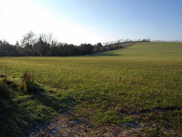
Image: © Derek Harper Taken: 4 Jan 2010
Looking in a different direction across the large field shown in Image Beyond the angle of the field boundary and following its line heading up the slope across an easting gridline towards the small mast, an area of young woodland has been planted.
Images are licensed for reuse under creativecommons.org/licenses/by-sa/2.0
Image Location
Latitude
50.702553
Longitude
-3.386705