Port Righ
Introduction
The photograph on this page of Port Righ by Steve Partridge as part of the Geograph project.
The Geograph project started in 2005 with the aim of publishing, organising and preserving representative images for every square kilometre of Great Britain, Ireland and the Isle of Man.

There are currently over 7.5m images from over 14,400 individuals and you can help contribute to the project by visiting https://www.geograph.org.uk
Port Righ
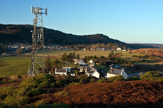
Image: © Steve Partridge Taken: 3 Jan 2010
With Carradale East beyond and Deer Hill to the left. Taken from near the telephone mast near Triangle wood.
Images are licensed for reuse under creativecommons.org/licenses/by-sa/2.0
Image Location
Latitude
55.584776
Longitude
-5.465384