St Andrews Parish Church
Introduction
The photograph on this page of St Andrews Parish Church by David Rogers as part of the Geograph project.
The Geograph project started in 2005 with the aim of publishing, organising and preserving representative images for every square kilometre of Great Britain, Ireland and the Isle of Man.

There are currently over 7.5m images from over 14,400 individuals and you can help contribute to the project by visiting https://www.geograph.org.uk
St Andrews Parish Church
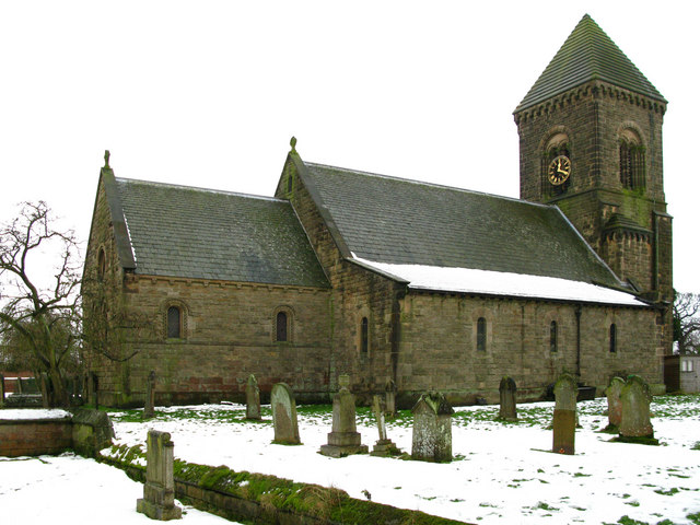
Image: © David Rogers Taken: 11 Jan 2010
Rebuilt in 1846 on the site of a late Norman structure.
Images are licensed for reuse under creativecommons.org/licenses/by-sa/2.0
Image Location
Latitude
54.282155
Longitude
-1.43121