Closed lane from Greendale Cross
Introduction
The photograph on this page of Closed lane from Greendale Cross by Derek Harper as part of the Geograph project.
The Geograph project started in 2005 with the aim of publishing, organising and preserving representative images for every square kilometre of Great Britain, Ireland and the Isle of Man.

There are currently over 7.5m images from over 14,400 individuals and you can help contribute to the project by visiting https://www.geograph.org.uk
Closed lane from Greendale Cross
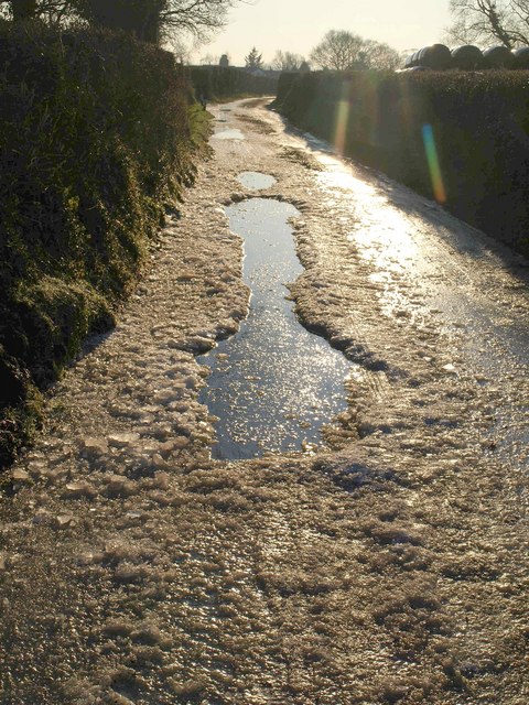
Image: © Derek Harper Taken: 4 Jan 2010
This is the lane from which Image was taken, hence looking in the opposite direction. It had a road closed sign, though I'm not sure whether this was because of the weather or, more likely, work taking place near one of the two farms along it. The extent of the ice is probably a consequence of the absence of traffic rather than a reason for it.
Images are licensed for reuse under creativecommons.org/licenses/by-sa/2.0
Image Location
Latitude
50.695683
Longitude
-3.419493