View over Penzance
Introduction
The photograph on this page of View over Penzance by Bob Jones as part of the Geograph project.
The Geograph project started in 2005 with the aim of publishing, organising and preserving representative images for every square kilometre of Great Britain, Ireland and the Isle of Man.

There are currently over 7.5m images from over 14,400 individuals and you can help contribute to the project by visiting https://www.geograph.org.uk
View over Penzance
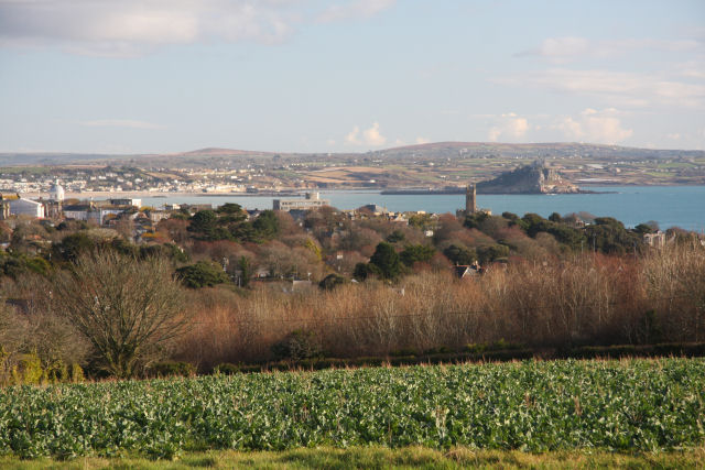
Image: © Bob Jones Taken: 2 Jan 2010
Looking across fields from near the A3071 at Castle Horneck, this view takes the following landmarks (from right to left): St Michael's Mount, St Mary's Church, Penzance tax offices (the large square-sided building) and Lloyds Bank (the dome at the top of Market Jew Street).
Images are licensed for reuse under creativecommons.org/licenses/by-sa/2.0
Image Location
Latitude
50.115947
Longitude
-5.558279