Millhouses Park Fish Ladder
Introduction
The photograph on this page of Millhouses Park Fish Ladder by Derek Henry as part of the Geograph project.
The Geograph project started in 2005 with the aim of publishing, organising and preserving representative images for every square kilometre of Great Britain, Ireland and the Isle of Man.

There are currently over 7.5m images from over 14,400 individuals and you can help contribute to the project by visiting https://www.geograph.org.uk
Millhouses Park Fish Ladder
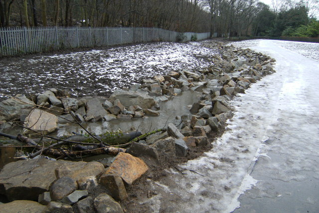
Image: © Derek Henry Taken: 30 Dec 2009
The disused paddling pools have been removed and replaced with a meandering man-made river complete with rocks and pools
Images are licensed for reuse under creativecommons.org/licenses/by-sa/2.0
Image Location
Latitude
53.341857
Longitude
-1.498915