St James' Church through the viaduct
Introduction
The photograph on this page of St James' Church through the viaduct by Pamela Norrington as part of the Geograph project.
The Geograph project started in 2005 with the aim of publishing, organising and preserving representative images for every square kilometre of Great Britain, Ireland and the Isle of Man.

There are currently over 7.5m images from over 14,400 individuals and you can help contribute to the project by visiting https://www.geograph.org.uk
St James' Church through the viaduct
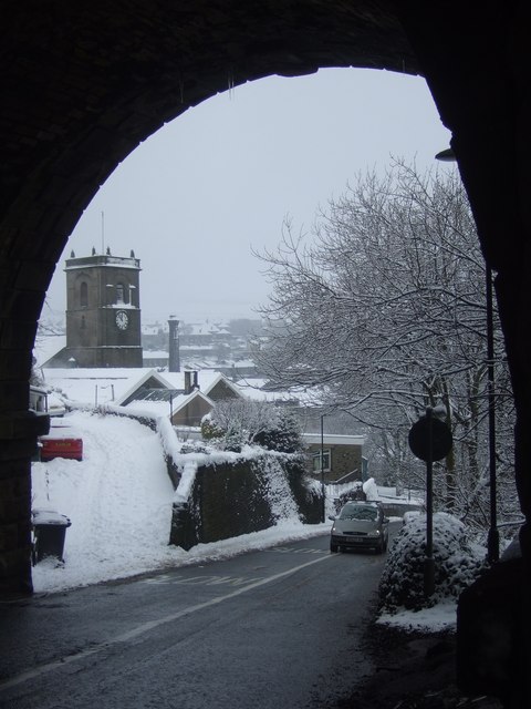
Image: © Pamela Norrington Taken: 24 Dec 2009
Looking down Bankgate under the viaduct which carries the trans-Pennine rail link, St James' tower is visible.
Images are licensed for reuse under creativecommons.org/licenses/by-sa/2.0
Image Location
Latitude
53.623202
Longitude
-1.884755