The Clyde Walkway entering Big Wood
Introduction
The photograph on this page of The Clyde Walkway entering Big Wood by Lairich Rig as part of the Geograph project.
The Geograph project started in 2005 with the aim of publishing, organising and preserving representative images for every square kilometre of Great Britain, Ireland and the Isle of Man.

There are currently over 7.5m images from over 14,400 individuals and you can help contribute to the project by visiting https://www.geograph.org.uk
The Clyde Walkway entering Big Wood
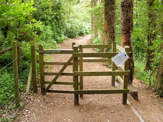
Image: © Lairich Rig Taken: 1 Jul 2005
This section of the Clyde Walkway leads from Crossford to Stonebyres. For a distance of 500 metres before this gate, a miniature railway runs parallel to the walkway: Image; that line ends near Image From this gate, the path leads for 800 metres through Big Wood, before emerging into the open once again at Arthur's Craigs.
Images are licensed for reuse under creativecommons.org/licenses/by-sa/2.0
Image Location
Latitude
55.690445
Longitude
-3.856066