Towards Littleton Lane
Introduction
The photograph on this page of Towards Littleton Lane by Ian Capper as part of the Geograph project.
The Geograph project started in 2005 with the aim of publishing, organising and preserving representative images for every square kilometre of Great Britain, Ireland and the Isle of Man.

There are currently over 7.5m images from over 14,400 individuals and you can help contribute to the project by visiting https://www.geograph.org.uk
Towards Littleton Lane
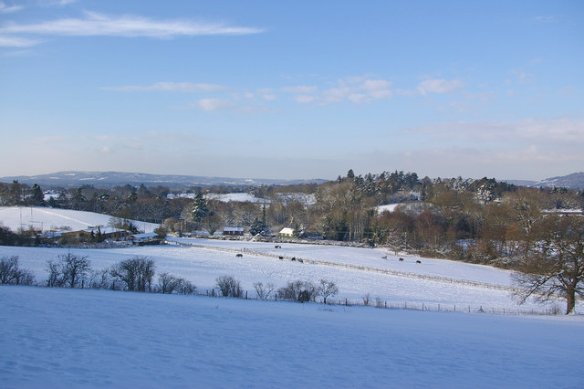
Image: © Ian Capper Taken: 9 Jan 2010
Looking towards the small cluster of farm buildings and houses at the foot of Littleton Lane. The snow cover is from a heavy fall a few days earlier. The high ground in the far distance is Leith Hill, with a section of the North Downs on the far right of the photo.
Images are licensed for reuse under creativecommons.org/licenses/by-sa/2.0
Image Location
Latitude
51.231572
Longitude
-0.223968