The end of Snowhill Lane
Introduction
The photograph on this page of The end of Snowhill Lane by Robin Webster as part of the Geograph project.
The Geograph project started in 2005 with the aim of publishing, organising and preserving representative images for every square kilometre of Great Britain, Ireland and the Isle of Man.

There are currently over 7.5m images from over 14,400 individuals and you can help contribute to the project by visiting https://www.geograph.org.uk
The end of Snowhill Lane
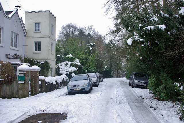
Image: © Robin Webster Taken: 11 Jan 2010
Appropriate weather for this lane! It appears to be the old alignment of Effingham Road, which is a few paces right through a gap at the end of the lane.
Images are licensed for reuse under creativecommons.org/licenses/by-sa/2.0
Image Location
Latitude
51.143148
Longitude
-0.08623