Converted Windmill In the Polden Hills
Introduction
The photograph on this page of Converted Windmill In the Polden Hills by Nigel Mykura as part of the Geograph project.
The Geograph project started in 2005 with the aim of publishing, organising and preserving representative images for every square kilometre of Great Britain, Ireland and the Isle of Man.

There are currently over 7.5m images from over 14,400 individuals and you can help contribute to the project by visiting https://www.geograph.org.uk
Converted Windmill In the Polden Hills
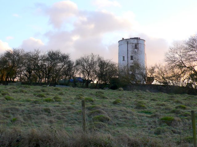
Image: © Nigel Mykura Taken: 29 Dec 2009
View south towards the windmill which sits at the western end of the high part of this ridge known as Windmill hill
Images are licensed for reuse under creativecommons.org/licenses/by-sa/2.0
Image Location
Latitude
51.113821
Longitude
-2.770242