Road junction on Clay Hill Road
Introduction
The photograph on this page of Road junction on Clay Hill Road by David Anstiss as part of the Geograph project.
The Geograph project started in 2005 with the aim of publishing, organising and preserving representative images for every square kilometre of Great Britain, Ireland and the Isle of Man.

There are currently over 7.5m images from over 14,400 individuals and you can help contribute to the project by visiting https://www.geograph.org.uk
Road junction on Clay Hill Road
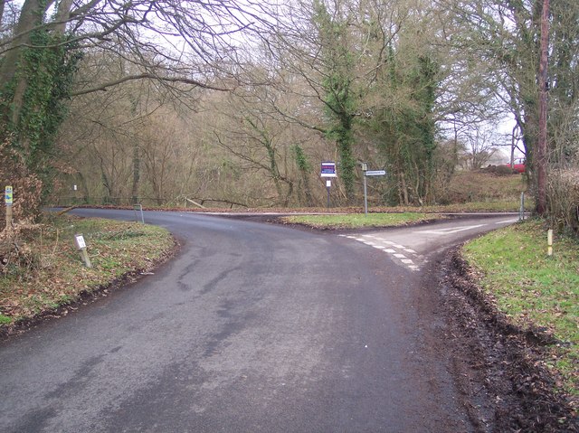
Image: © David Anstiss Taken: 3 Jan 2010
Clay Hill Road from Hook Green, bends to the left to climb Clay Hill towards Lamberhurst Quarter. Mount Pleasant leads right towards Lamberhurst. Ellis Wood is in the background.
Images are licensed for reuse under creativecommons.org/licenses/by-sa/2.0
Image Location
Latitude
51.106652
Longitude
0.364975