Severed end of Feering Street, Newport
Introduction
The photograph on this page of Severed end of Feering Street, Newport by Jaggery as part of the Geograph project.
The Geograph project started in 2005 with the aim of publishing, organising and preserving representative images for every square kilometre of Great Britain, Ireland and the Isle of Man.

There are currently over 7.5m images from over 14,400 individuals and you can help contribute to the project by visiting https://www.geograph.org.uk
Severed end of Feering Street, Newport
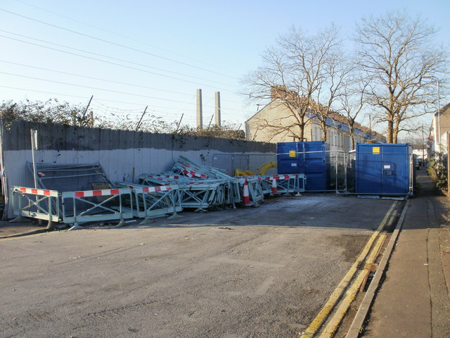
Image: © Jaggery Taken: 4 Jan 2010
Viewed from Kelvedon Street. Formerly vehicles could travel the whole length of Feering Street, http://www.geograph.org.uk/photo/1658697 but now access is permanently blocked by a bricked area containing trees, isolating the south-east fragment of Feering Street shown here. The blockage is temporarily reinforced by two containers, and the area is being used for the storage of barriers and coils of cable. In the distance are the towers of George Street bridge. http://www.geograph.org.uk/photo/1658628
Images are licensed for reuse under creativecommons.org/licenses/by-sa/2.0
Image Location
Latitude
51.584061
Longitude
-2.979944