West Moors, Heatherdown Way
Introduction
The photograph on this page of West Moors, Heatherdown Way by Mike Faherty as part of the Geograph project.
The Geograph project started in 2005 with the aim of publishing, organising and preserving representative images for every square kilometre of Great Britain, Ireland and the Isle of Man.

There are currently over 7.5m images from over 14,400 individuals and you can help contribute to the project by visiting https://www.geograph.org.uk
West Moors, Heatherdown Way
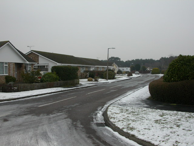
Image: © Mike Faherty Taken: 11 Jan 2010
The majority of housing in the South-east of West Moors comprises modern bungalows, as here, in Heatherdown Way. Trees in West Moors Plantation can be seen in the distance.
Images are licensed for reuse under creativecommons.org/licenses/by-sa/2.0
Image Location
Latitude
50.820261
Longitude
-1.870197