Philanthropic Road, Redhill
Introduction
The photograph on this page of Philanthropic Road, Redhill by Rib as part of the Geograph project.
The Geograph project started in 2005 with the aim of publishing, organising and preserving representative images for every square kilometre of Great Britain, Ireland and the Isle of Man.

There are currently over 7.5m images from over 14,400 individuals and you can help contribute to the project by visiting https://www.geograph.org.uk
Philanthropic Road, Redhill
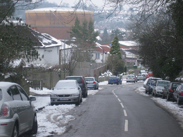
Image: © Rib Taken: 11 Jan 2010
Looking downhill towards junction with Hooley Lane. The large gas holder is one of a pair on a gas holding station on Hooley Lane.
Images are licensed for reuse under creativecommons.org/licenses/by-sa/2.0
Image Location
Latitude
51.231782
Longitude
-0.162482