The East Grinstead end of the Worth Way
Introduction
The photograph on this page of The East Grinstead end of the Worth Way by Robin Webster as part of the Geograph project.
The Geograph project started in 2005 with the aim of publishing, organising and preserving representative images for every square kilometre of Great Britain, Ireland and the Isle of Man.

There are currently over 7.5m images from over 14,400 individuals and you can help contribute to the project by visiting https://www.geograph.org.uk
The East Grinstead end of the Worth Way
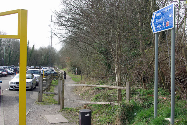
Image: © Robin Webster Taken: 11 Mar 2009
The old high level station yard is used as a car park at left. A totem just visible to the right of the path, beyond the walker, marks the start of the old railway curve connecting high and low levels. This marks an as yet failed attempt to convert most of this into a branch path.
Images are licensed for reuse under creativecommons.org/licenses/by-sa/2.0
Image Location
Latitude
51.12685
Longitude
-0.020162