Farmland near Spetisbury
Introduction
The photograph on this page of Farmland near Spetisbury by Maigheach-gheal as part of the Geograph project.
The Geograph project started in 2005 with the aim of publishing, organising and preserving representative images for every square kilometre of Great Britain, Ireland and the Isle of Man.

There are currently over 7.5m images from over 14,400 individuals and you can help contribute to the project by visiting https://www.geograph.org.uk
Farmland near Spetisbury
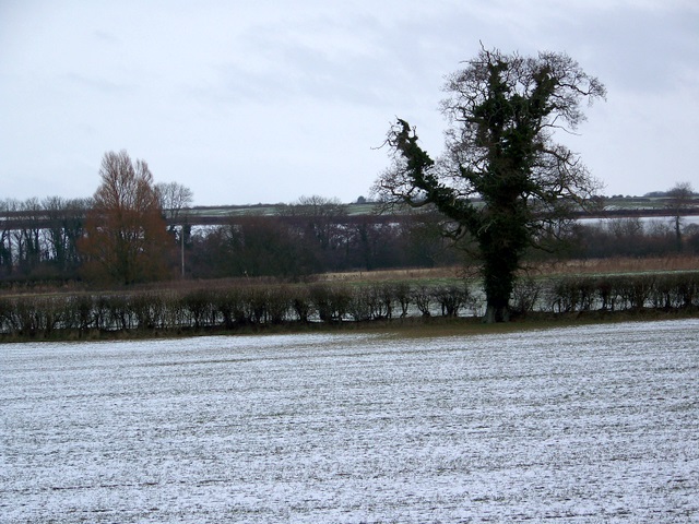
Image: © Maigheach-gheal Taken: 10 Jan 2010
Looking across a sown field with a light sprinkling of snow towards the River Stour from the A350.
Images are licensed for reuse under creativecommons.org/licenses/by-sa/2.0
Image Location


Leaflet Map data © OpenStreetMap
Latitude
50.814887
Longitude
-2.108393